Preloader Close

Contact Inro

  • 96 Queen Park, Los Vegas, USA
  • +1 800 555 44 00
  • support@example.com
  • Office Hrs: Today 9.00am to 6.00pm
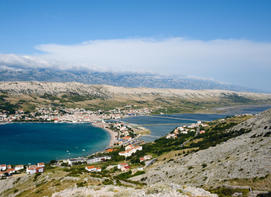
Meet Pag

All about Pag

Surface:

284,6 km²

The most famous beach:

Zrče

Share:

ISLAND OF CHEESE, SALT AND LACE

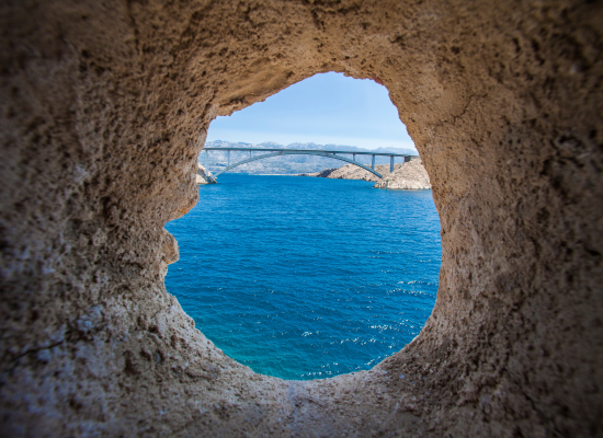
The symbol of lace-making in the Croatian coast, with its karst ornamentation, itself resembles stone lace on a blue carpet.

Awesome Image
Awesome Image

Symbol of lace on the Croatian coast with its karst ornaments  recalls the stone lace on a blue carpet. Is about 60 km long, and 2 to 9.25 km wide and has the longest coastline of the Adriatic islands. Approximately 84 km of coastline are bays with gravel and sandy beaches, ideal for swimming. Zal Zrča in the northwestern part of the Pag Bay is one of the most beautiful beaches on the Adriatic. Seaside tourism are favorable climate with dry warm months of the year and  monthly temperature above 20 degrees from May to September, which allows a long season.

The relief is stressed by two Dinar elongated limestone ridges,out of which on the  East are stopped by Pag door, and the central bay series, which was sunk in the central part by  Pag bay. The east coast is higher and steeper than the west. Wind bura tears and bits it,while western  coast caress mistral and sirocco. The island landscape is dominated by contrast of bare and plain with fences, stone walls, and green, Mediterranean cultivated valleys and lower parts of the plateau. Lun peninsula spreads with olive trees, among which there are groves of wild olives.

The oldest administrative and military center of the island was Cissa (Kisa) today Caska. The Romans built a large military camp (castrum) in the year 129BC, the underground Roman aqueduct buža of the Italians, the remains of quarries in the area and remains of buildings and the ruins of the acropolis on a hill overlooking the bay as the evidence of that period. Novalja is at the end of the old and the beginning of a new era developed as a port castrum (Novalia), with a shipyard to repair ships. Cisse collapse in an earthquake in 361 , when the greater part of her castrum sank under the sea, Novalja received its population and the continued function of the leading administrative center of the island.

Stara Novalja is placed in a quiet bay in the north part of the island, on a gentle slope to the sea, in a number of houses sheltered from the wind and the Velebit. In the central part of the island, in a sheltered bay of Pag Bay, lies a small tourist village – Metajna. On the northwestern coast of the island, the northernmost settlement on the peninsula lies Lun.

After the collapse of the Roman Empire in the year 476, the island was inhabited by Slavs, whose main village was Keša(Novalja). In the conflict of Rab and Zadar (XII. century)Keša fails, a leading role on the island overtakes town Pag.

FOR MORE INFORMATION:

http://www.pag.hr